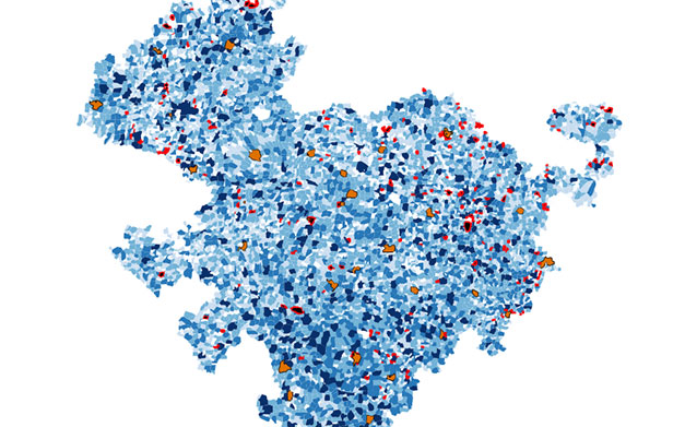
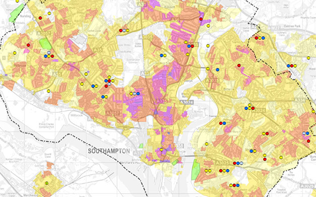
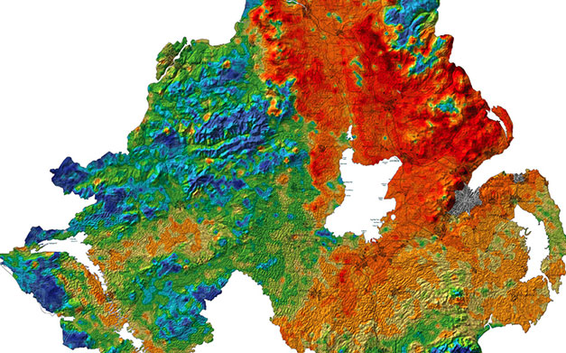
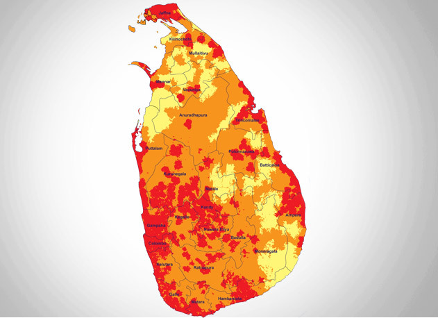
With the aim of complementing our on-the-ground environmental services, GPEC provides state-of-the-art GIS & RS mapping and spatial analysis services to government, private sector, and non-government clients on the geographic information systems technology for environmental monitoring and management.
With expertise in remote sensing, GIS, and data management, our experienced specialists develop datasets and analyses that allow our clients to observe and understand key environmental features of the proposed projects.
We gather and analyze geospatial and data to extract levels of information to highlight patterns and relationships such as terrain, land cover, the built environment, water resources, and sensitive habitats that are required to environment conservation & management. Meeting the demand for quality GIS & RS mapping services, we have initiated providing comprehensive training in these services with the collaboration with industry specialists & organizations.


